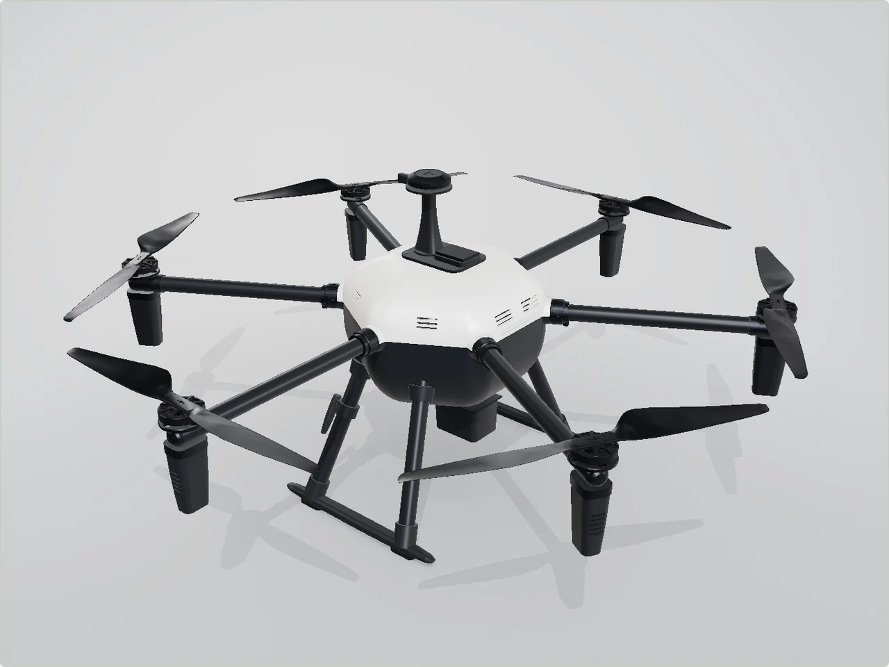
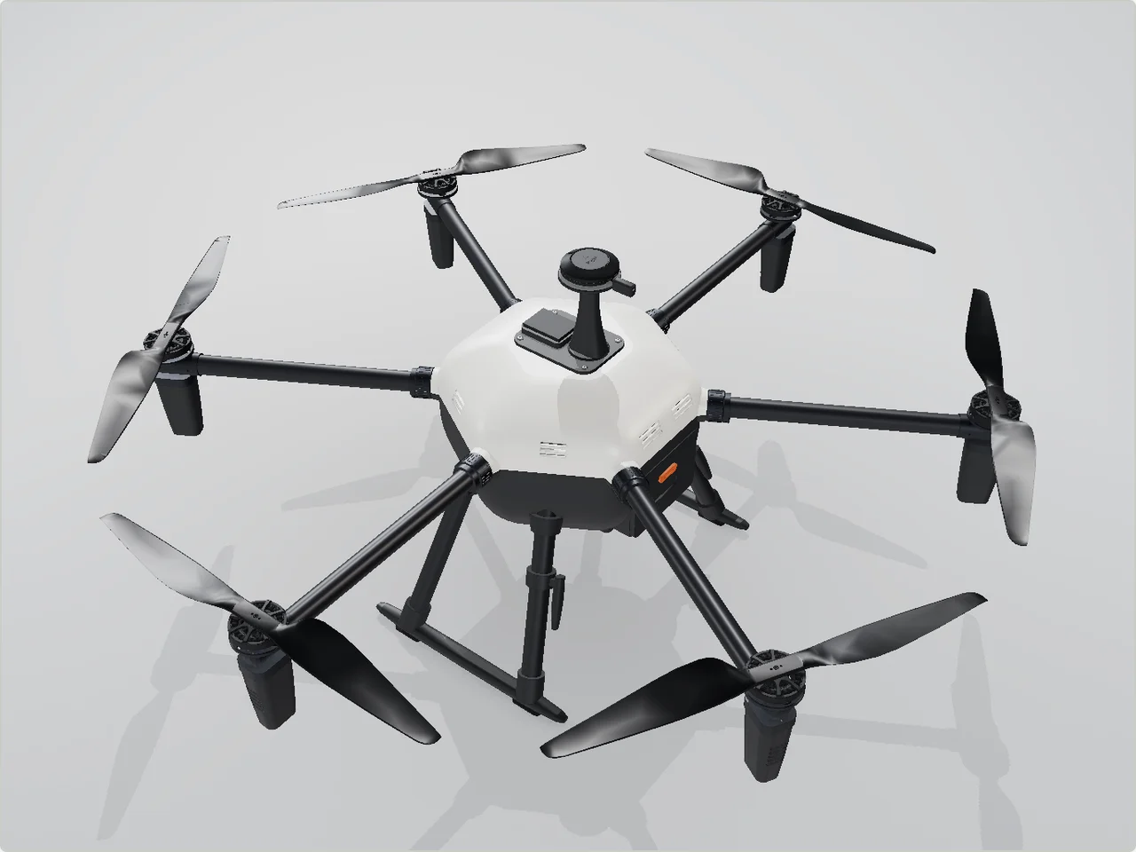
A hexacopter that maps crop health over farm fields with a multispectral camera. It carries a 3 kg payload, uses brushless motors, GPS and an IMU, and flies on a 12S lithium battery with a PA12 and carbon-fibre airframe. Medium production volume, with the bill of materials under 6000 USD.
This design is not finished. Anubis keeps working on it, and this page shows its latest state. Request a pilot to have Anubis design your robot.